|
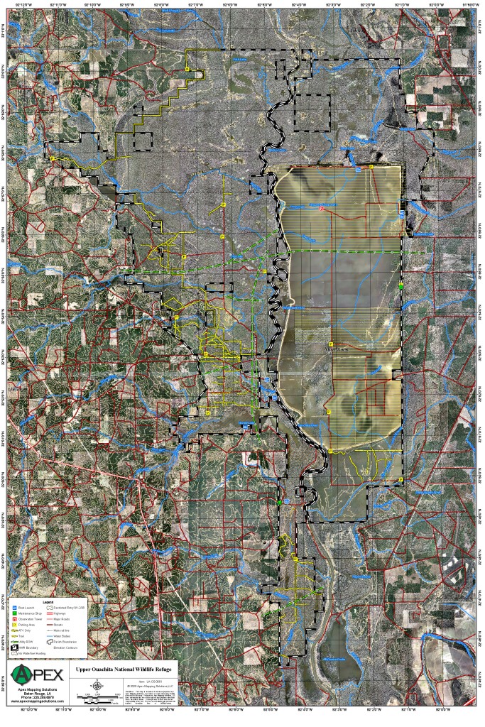
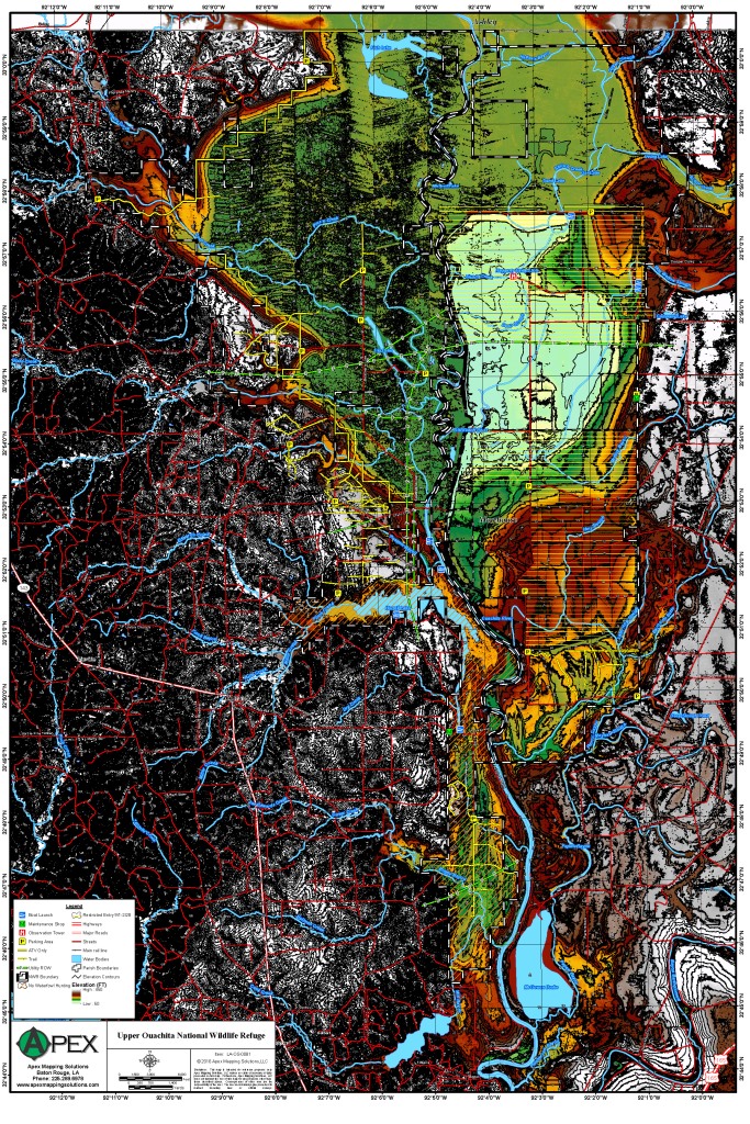
Upper Ouachita National Wildlife Refuge
|
|
|
||||||
|
Eighteen miles long and up to ten miles wide, the refuge consists of over 14,500 acres of bottomland hardwood
forest, 5,000 acres of upland forest, 3,000 acres of shrub/wooded swamp, 16,000 acres of reforested farmland, and 2,000 acres
of open water. About 80% of the refuge is subject to annual flooding from December through May. The central physical feature
is the Ouachita (pronounced washataw) River, which bisects the refuge. The river’s wide floodplain is characterized
by alluvial soils. Refuge supports concentrations of ducks, geese, wading birds, raptors and a small wintering population
of bald eagles.
Click Here To Read More... |
||||||||