|
Tensas River National Wildlife Refuge
|
|
|
||||||
|
Refuge is in the upper basin of the Tensas River in northeast Louisiana which was the last documented
home of the ivory-billed woodpecker.Home to one of the last concentrations of the threatened Louisiana black bear.In 1907,
Teddy Roosevelt hunted bear just north of the refuge boundary and the "Teddy Bear" was introduced as a result of
an incident during the hunt.Concentrations of ducks, geese, raptors, wading birds and shorebirds.Several rookeries present.
Open water 1,514 acres, woodlands 54,808 acres, croplands 3,007 acres, reforested former agricultural fields 2,413 acres,
moist soil management 1,000 acres.
Click Here To Read More... |
||||||||
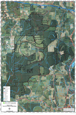
Tensas River National Wildlife Refuge - North
Map
|
|
|
||||||


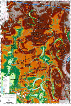
Tensas River National Wildlife Refuge - South
Map
|
|
|
||||||

