|
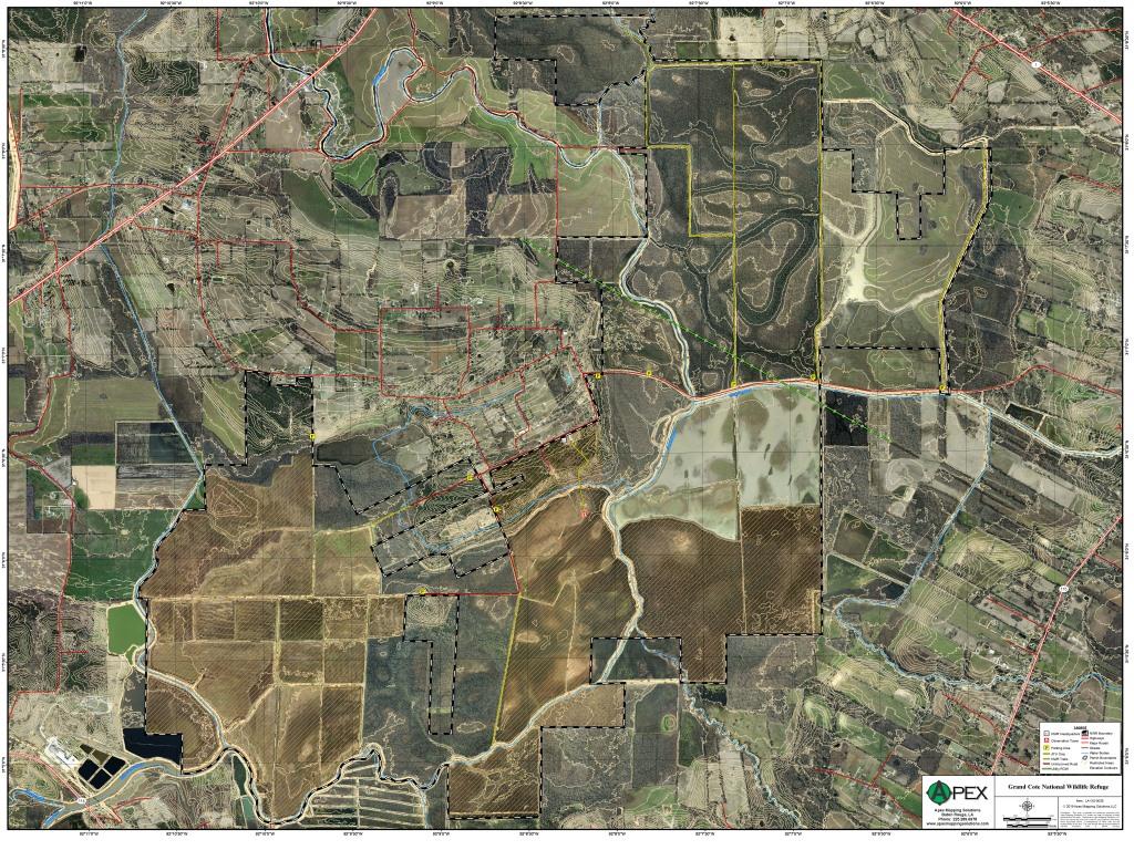
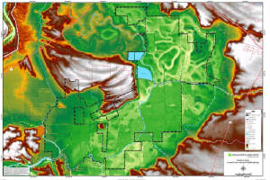
Grand Cote National Wildlife Refuge
|
|
|
||||||
|
Grand Cote National Wildlife Refuge was once part of the large contiguous Mississippi River bottomland
hardwood forest. Topography of the refuge is characterized by a large depressional basin that fills with shallow water from
winter rains and backwater flooding.
Click Here To Read More... |
||||||||