|
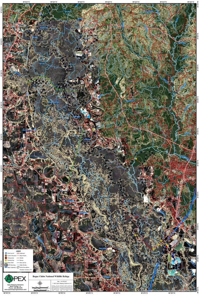
Bogue Chitto National Wildlife Refuge
|
|
|
||||||
|
Bogue Chitto NWR is a bottomland hardwood forest consisting of a number of sloughs and bayous. The production
of valuable wildlife foods is dependent on the varying degrees of inundation during the growing season. A variety of woody
plant species occur in these periodically flooded areas, and all exhibit some degree of survival in soils which are inadequately
drained and aerated. Commonly recognized habitats include the bald cypress and water tupelo communities associated with longer
periods of flooding to the live oak and loblolly pine communities on the higher ground.
Click Here To Read More... |
||||||||