|
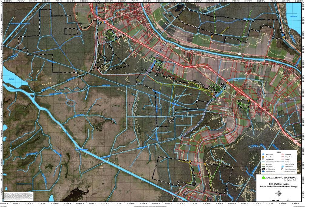
Bayou Teche National Wildlife Refuge
|
|
|
||||||
|
The 9,028 acre refuge is forested with bottomland hardwoods and cypress-gum forests. The refuge was established
in St. Mary Parish in 2001. The surrounding area includes oil and gas wells and canals.
Click Here To Read More... |
||||||||