|
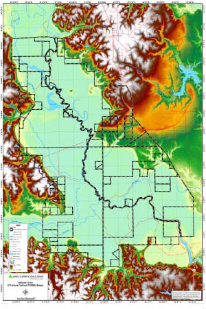
D'Arbonne National Wildlife Refuge
|
|
|
||||||
|
Eight miles long and averaging 4 miles wide, the refuge consists of over 11,000 acres of bottomland hardwood
forest, 3,000 acres of upland forest, 1,000 acres of moist soil habitat, and 2,000 acres of permanent water. About 75 percent
of the refuge is subject to annual flooding from December through May. The central physical feature is Bayou D’Arbonne,
13 miles of which lie within the refuge.
Click Here To Read More... |
||||||||